Free Version:
The free version has all the functionality of the paid version of ETOPS, except the location services will be disabled after 5 to 10 minutes. After this time, GPS updates will be disregarded and the program will not make new route, ETOPS / Alternates or other related calculations.
=====
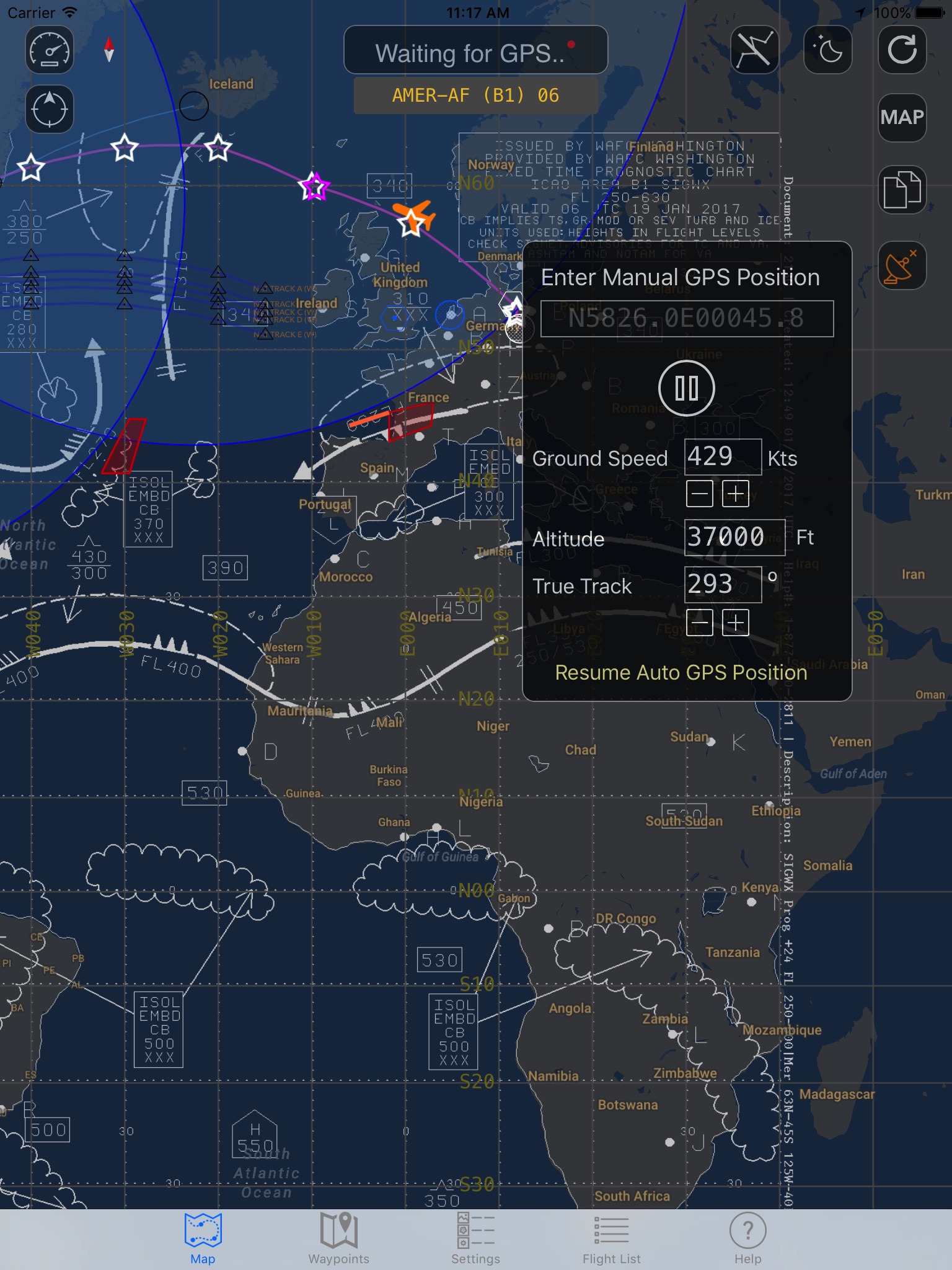
The ETOPS application features a graphical (moving, if a valid GPS signal is available) map
(provided by Google, no aviation map) with the option to plot a route from aviation waypoints and display circles based on (a user selectable) ETOPS range.
The application also supports background updating and notifications when leaving/entering an ETOPS range and when abeam an ETP.
Some other features:
- Display of HLA NAT Tracks based on actual OTS information
- Flight tracking option (autonomously, including detection of Off Block, Take off, Landing and On Block times.
- Export of flight(s) and track(s) (GPX Format)
- Bluetooth GPS Support
- Weather overlay like Sigmets/Wind/Turbulence/Significant weather charts
- Computed position based on Speed/Track and user configurable position if no GPS is available.
- Dynamic ETP calculation.
- WX/ NOTAM summary
Disclaimer:
=======
Continued use of GPS running in the background can dramatically decrease battery life.


